Showing posts with label mountain biking. Show all posts

Friday, July 3, 2015

Spruce Mountain - Eagle Pass Trail

Columbine - Colorado's State Flower
My early Father's Day hike was on the Eagle Pass Trail at the Spruce Mountain Open Space area south of Larkspur in Douglas County.  The weather was humid for Colorado, with the views washed out by the moisture in the air.  It actually looked like I was hiking in the Smokey Mountains today, not the Rocky Mountains!
I walked for 5.4 miles round trip mostly through the meadow and some forest area.  The start was at the Spruce Mountain trailhead and I walked along the trail without climbing Spruce Mountain by continuing straight instead of turning left.  My goal today was to reach what I was told was a pioneer grave at the end of the trail.  My previous trip to Spruce Mountain is HERE.

Looking back east at the beginning of the trail across to Greenland
The Eagle Pass Trail sign, with the Eagle Mountain Conservation Easement in the background
Closeup of a weathered fence post, note the red flowers in the grass to the right
The trail passes mostly through meadow but also goes in and out of trees along the base of Spruce Mountain.  The pass is the high space between Spruce Mountain and Eagle Mountain.  Though not quite like a "pass" in the mountains at high elevation, it was still the saddle between the two high points along the prairie against the Front Range of the Rockies.

Wildflowers to the left side of the trail near the top of the pass
The view north of Eagle Mountain
The summer wildflowers were out everywhere alongside the trail.  I even saw Columbine, Colorado's state flower growing in the shade of the scrub oaks.  I have only seen this flower growing in the wild twice in the years I lived in Colorado, so it was a little exciting for me.

Columbine
More wildflowers
And more wildflowers
The "red" in the prairie grass
I continued along the trail enjoying the flowers, the view and the easterly breeze.  The sky was hazy, not a normal condition in Colorado, and the mountain views were washed out.  I only passed a couple hikers and mountain bikers and we all exchanged smiles with quick greetings and continued along. After almost an hour I reached the service road that connects to the trail around the top of Spruce Mountain.

In and out of the trees just past the top of the pass
Downhill into the trees
The view north across the prairie and surrounding farms
Sometimes the grass alongside the trail was almost up to my waist
A sign with the word "Steep" on it in Colorado means a vertical wall
Highway 105 or Perry Park Road, a favorite bicycling route of mine through the park-like valley
When I reached the service road, I turned to the right and followed it downhill a few yards to the next turn off to the right.  I followed that across a field and downhill to cross the dam of a pond, then switched back uphill to a ridge top.  From here I could see Highway 105 and hear the cars.  There were two picnic tables and some benches with a sign pointing the way to a pioneer grave site.  I followed the trail downhill to the overgrown site.  It has been fenced, but the weeds were too high to note any stones or markings.  I did not disturb the grave, but respectfully stayed outside the fenced area.  Maybe a trip to the Douglas County Library's history center will shed some light on who is buried here and when that happened.  A deer watched me from behind some trees.  It was very quiet here. I sat at a picnic table and drank some water, then headed back uphill on my return trip.

Ridge top picnic area
Temporary sign, poor iphone focus
Fenced Pioneer Grave site, an thoughtful Eagle Scout project
Watched by a deer
Turnaround point for the day
The return hike was as peaceful as the way in was.  The open space to the north provided quiet and once past the service road, I could hear no traffic until I was approaching the trailhead.  A hawk flew above and warblers flitted among the scrub oaks and pines.  I only met a couple mountain bikers once past the old service road and a couple hikers near the trailhead.  The sky had darkened a little but there was no rain or thunder along the trail.

That is the Eagle Pass at the break between the trees as seen while descending the ridge
Another temporary sign where the Eagle Pass trail leaves the Service Road
At the meadow shortcut trail on the way back
Meadow shortcut trail view
Finding Spruce Mountain Open Space trailhead is quite easy.  Go south from Denver on I-25 and exit at #173 Larkspur.  Please watch your speed driving through town as they are serious about you driving 25 MPH.  Travel south 6 miles on Spruce Mountain Road.  The trailhead is one mile on the right past Noe Road.  Pets are welcome but must be on a leash.  The trail is open from one hour before sunrise to one hour after sunset.  No camping is allowed.

Saturday, June 6, 2015

High Prairie Spring at Memmen Ridge Open Space

Ponderosa Pine along Memmen Ridge Open Space Trail
If it could bloom it was in bloom on the 43 acres of the Memmen Ridge Open Space in Castle Rock. The sun was out for the first spring afternoon in weeks with no rain and life was proudly announcing itself to the blue skies.  The Memmen Ridge Open Space is in the southern portion of Castle Rock and runs adjacent to near-downtown neighborhoods.


 A popular local 5K fitness route runs through Memmen Ridge and has about 120' of elevation gain along the path.  The area is popular with runners, walkers, mountain bikers and dog walkers.
27% of Castle Rock's land area is devoted to parks, trails and open spaces like this with a total of 56 miles of both natural surface and paved trails within the town limits.  It is nice to be able to walk or bicycle so near your home.


The short 1.9 mile hike runs from the willows in the riparian area near the stream through meadows up to a mature ponderosa pine forest on the north ridge, and takes about 50 minutes to circumnavigate on the hiking trail.  A cross trail can provide plenty of exploring with a bench or two at specific sites.  This was a great break from the town and was a surprisingly good hike.  It would make a moderate-difficulty mountain bike ride too.


It was a very peaceful hike, with red-headed warblers and Colorado bluebirds flitting among the oak scrub, grasshoppers springing up from the dirt trail in front of me and the low sound of wind in the trees.  The smell of the pines was strong, the meadow air was fresh as just washed, and the varied blossoms of cactus, Indian paintbrush and bluebells colored the scene.  From the ridge you could see over the town to the front range in the west.


How to find Memmen Ridge Open Space: From the Castle Rock/Highway 86 exit 182 on I-25, travel south on Wilcox Street to 5th Street (Highway 86) and make a left turn.  Go 5 blocks and turn right on Gilbert Street.  At the stop sign at South Street, turn left and then take your first right onto S. Oman Road.  Make a quick left into the trailhead parking lot.  A trail map is available HERE.

Friday, May 1, 2015

Spruce Mountain Open Space Trail

Spruce Mountain Open Space Trailhead.  Greenland is a great open area south of Larkspur
Spruce Mountain Open Space Trail runs about 8 miles and climbs a forested flat-topped mountain in southern Douglas County Colorado.  Similar to other multi-use trails in the county, Spruce Mountain used to be a wayside on old highway 85, called the Santa Fe Trail, about 6 miles south of Larkspur, Colorado.  On many bike rides I paused at the mountain's base, looking out over the great open expanse of land running south and east.  Thanks to groups like Colorado Outdoors and the Colorado Lottery, land like this plus miles of open grassland have been set aside to enjoy "as-is" forever.

Looking north across the meadow to Monkey Face Butte at Larkspur
Looking up the Oak Shortcut trail to the Greenland Overlook
Go straight on the Oak Shortcut trail or go left.  Both climb Spruce Mountain
The trail head is in a parking lot at an elevation of 7100 feet.  From there you can easily climb up switchbacks along the trail to the Windy Point overlook at 7605 feet above sea level.  The trail is natural sandy surface and is shaded.  It runs through thick woods for most of the way.  Mountain Bikes are welcome here and along the Spruce Meadows Trails throughout the open space north, east and southeast of Spruce Mountain.  Horseback riders are welcome too!  The meadow trails run for 8.5 miles.

Pine Junction Trail Sign
The Greenland Overlook
The first climb is about 100 feet to Pine Junction where a shorter and steeper trail called Oak Shortcut runs from the parking lot (go south instead of west).  My wife and I took advantage of the great weather and hiked the Spruce Mountain trail in this direction this time.  While this trail was OK for reducing trail time on the uphill climb, it is so steep that coming down the trail may lead to slips and erosion. Plus our knees enjoyed the more mellow altitude loss of the longer trail on the way back down. The way we hiked today, the trail was just under 5 miles.

Switchbacks
There are two switchbacks below this one
Climbing switchbacks, the trail ascends past Greenland overlook.  Greenland is the group of ranches to the east of Spruce Mountain in the meadow and is Douglas County Open Space along both the east and west sides of I-25.
Further along, the trail splits at a jut in the trail out to the northwest so horseback riders can get by the overhanging rocks.  Here there is a marker celebrating Paddock's Point, for Warren Craig Paddock who practiced forestry and loved Spruce Mountain. Once you reach the upper loop road you will see that trees have been selectively cut from the mountain top, like someone used a measuring tape to cut the same size trees.  Just look around the area at how trees were selectively thinned, but never clear-cut.  Wood chips on the ground show they were trimmed and logged in select areas before being taken out along the road.  Thanks to Mr. Paddock for taking great care of the land.

View south with snow-covered Pikes Peak behind the front range foothills
Thanks to Mr. Paddock for his forestry service and love of Spruce Mountain
Eagle Mountain, to the north of Spruce Mountain, is part of a private conservation easement
We hiked on up to the upper loop junction at around 7400 feet.  There the trail joins an old service road which loops the mountain.  This loop travels through forest and undulates up and down past rocks and hoodoos.  There are three picnic tables spaced along here at overlooks with great views. Bring lunch and make it a day!

When you need a rest, there is a bench nearby
What an awesome trail!  You can smell the spruce and pines
Views amid hoodoos
Views south to Palmer Lake
One of 3 picnic benches placed about 2/3 of the way to Windy Point
Tree death by lightning.  Beware!
At 1.5 miles of the mountain top road, the loop road passes Windy Point, the southernmost part of the mountain top.  Here the views were exceptional.  Today there was no wind, but with this rock outcropping so near the Palmer Divide (Palmer Lake is the town you see below) this area could be incredibly windy with the weather changing rapidly.  Most severe storms are steered by the Palmer Divide, variously going either north or south.  The weather here still troubles meteorologists and ranchers alike today because they cannot tell which way the storm will go until the last moment when it passes the divide.

Usually it is windy here
Palmer Lake at the Palmer Divide
Interesting stone circle with a stone in the center
One last view southeast before turning north.  You can see the Black Forest from here
We turned back north along the loop road and enjoyed a beautiful view of the Colorado Front Range extending past Long's Peak.  We continued to enjoy the walk along the mountain top park.  The precisely thinned trees, mossy boulders and gently undulating ground looked like a professionally trimmed lawn.  Birds flitted from pine tree to pine tree, the air was heavy with scented spruce and pine, spring wildflowers began their blooms, damp moss covered shady parts of the ground, grasshoppers flitted about our legs.

Looking north into the red rocks of Perry Park
More awesome upper loop hiking
The service road down to Eagle Pass Trail
Wildflower lit just for me
About a third of a mile past Windy Point, we came to the service road which leads to the bottom of the hill on the west side of the mountain.  It was steep and we were enjoying the mountain top so much, we just continued along the loop road.  At the bottom of the hill this road connects to the east with the Eagle Pass Trail and Spruce Meadows trails along the open space in the grassland.  It also leads west to a picnic table and (I have heard but have not seen) a pioneer grave site.  I will come back to hike that trail portion another time.
Our trail sign to go back downhill.  The Slow Down sign is for mountain bikers
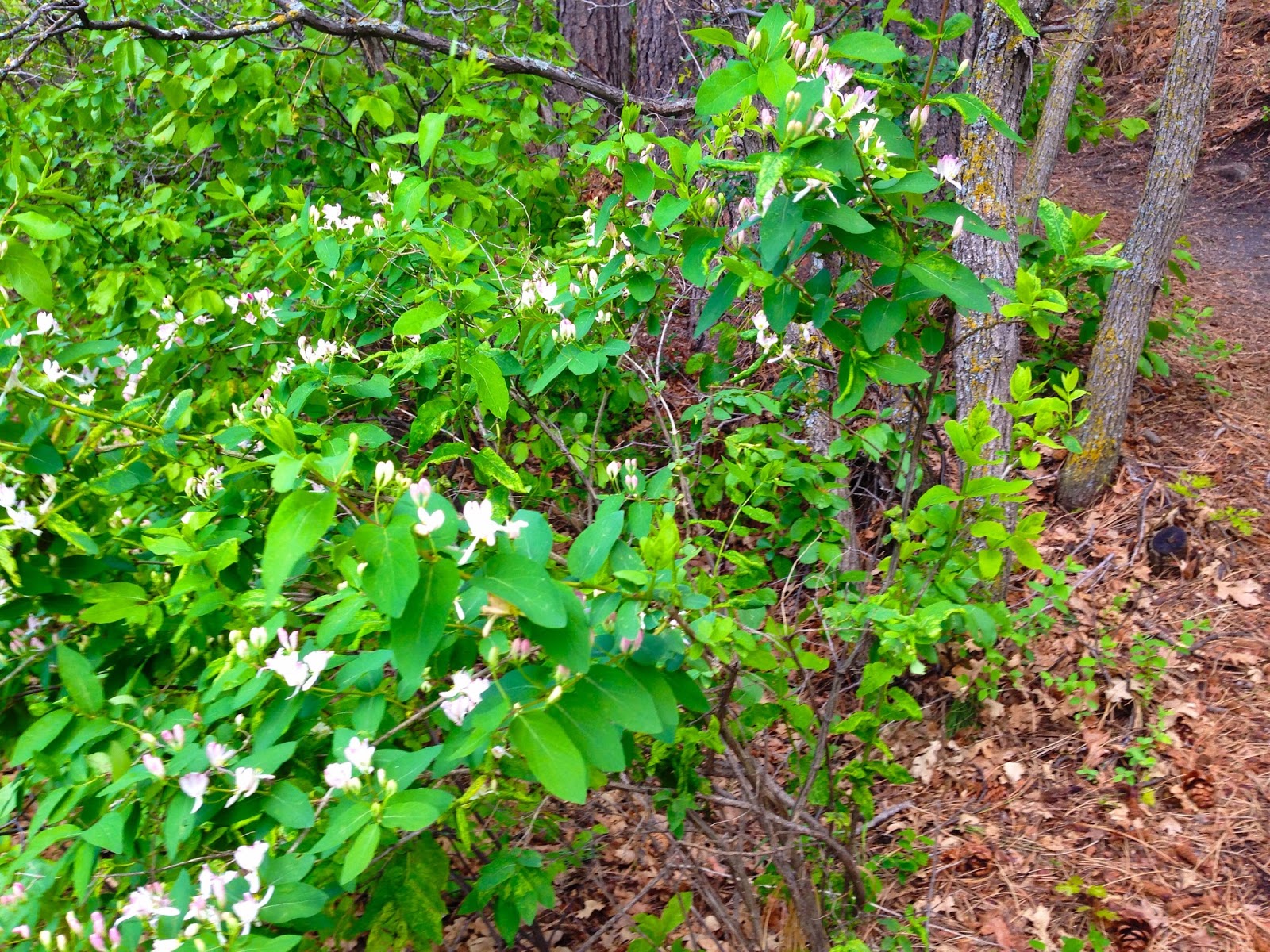
More wildflowers
Erosion in this sandy soil is a very bad thing.  Please stay on the trail
Trail on the way back down
Back side of the Oak Shortcut trail sign
We finally reached the Upper Loop Junction trail sign and headed back downhill.  We enjoyed the peacefulness of the trail.  We made our way back down to the trailhead and the awaiting (and hot) car.  What a great hike this was!
To find Spruce Mountain Open Space, go south from Denver on I-25 and exit at #173 Larkspur. Watch your speed going through town, they are serious about you driving 25 MPH.  Travel south 6 miles on Spruce Mountain Road.  The trailhead is one mile on the right past Noe Road.  To visit the Spruce Meadows Trailhead, turn left (east) on Noe Road and go 1.5 miles.  Pets are welcome but must be on a leash.  The trail is open from 1 hour before sunrise to 1 hour after sunset.  No camping is allowed.