|
| Barr Lake Entrance Station |
So it was a windy, cool day in early March at
Barr Lake State Park, about 15 miles NE of Denver on I-76. My wife and I were here to see the eagles, nesting like they do annually on the lake. We did see the nest across the lake, but no eagles this time. We did see quite a few other types of bird here, especially Canadian Geese.
Our visit today brought us to the
Visitor/Nature Center first, to watch the birds fluttering just outside the window and to see the nature displays inside. From there, we walked outside across the canal on the bridge and turned left onto the gravel path/road which encircles the lake.
 |
| Lake Barr |
 |
| Another flock of Canadian Geese |
 |
| The Welcome/Nature Center near the parking and picnic areas |
Barr Lake has had a varied history. Beginning as a buffalo wallow, the native Americans like the Arapaho and the Cheyenne hunted buffalo, antelope and deer here. A buffalo or bison wallow is a deflation basin created by strong prairie winds. By 1876, when Colorado became a state, the once-endless supply of buffalo were now gone, slaughtered by the millions, their migration paths blocked by new railroads and fences. Taking their place now were the Longhorn cattle. From 1860, the cowboys rounded up the Spanish cattle in herds and drove them north on the Goodnight-Loving Trail, right through the old Barr Lake wallow. The Longhorn cattle were shipped east by railroad to feed a growing east coast population.
Tourism came next to the area with the construction of the railroad and Barr Lake Rod and Gun Club. In 1886 a group of wealthy Denverites established the Oasis Hunting Club, available by rail to the recently established Barr Depot at Barr City (first called Platte Summit). Water was diverted in 1891 from the South Platte River to create the Oasis Reservoir. Then in 1908, in an effort to meet an increase in water demand for the plains farmers, both Oasis Reservoir and the neighboring Burlington Reservoir were combined to create Barr Lake. During WWI the US Army stationed soldiers at the lake to prevent enemy saboteurs from poisoning the water. Following the Barr City railroad depot closure in 1931, the town ceased to exist.
 |
| Note the water lines on the tree trunks |
 |
| One of the many old Cottonwood Tree remains by the trail |
 |
| Cottonwood Inside |
 |
| And the elves live here... |
The new lakes here provided a constant water supply and attracted an abundance of trees, Cottonwoods and birds. You can see and hear those birds here today. Here are a couple of the Canadian Geese that did't fly away today when we walked by them, twice.
 |
| Goose 1 |
 |
| Goose 2 |
 |
| Both Geese |
 |
| Geese aloft |
On the walkway around the lake, we hiked the Niedrach Trail (named for a prominent ornithologist who visited here) and its boardwalk across the water, continued along the gravel path/road beside the canal where we saw a beaver (possibly an otter), saw the Fox Meadow trail, and walked out the boardwalk to the Gazebo where we could see the eagle nest on the southern shore. It took us about an hour to reach the Gazebo with lots of photo stops along the way.
The wind was cool and the sun was setting, so we hiked back to our car from here, checking out the picnic area by the Visitor Center with the wind-walls built onto the picnic tables like we had seen at Badlands National Park. A couple of bicyclists passed us along the path, making good time even in the wind.
 |
| My kind of western picnic table with a wall to keep your plate from blowing onto your chest... |
 |
| Sign at the Gazebo Boardwalk |
 |
| View from the Gazebo Boardwalk |
 |
| View from the Gazebo Pavilion |
 |
| And the view of Barr Lake looking north from the Gazebo Pavilion |
 |
| The long boardwalk to the Gazebo across the lake |
 |
| Barr Lake Map |
The park covers 2,715 acres, Barr Lake reservoir is 1,900 acres. About 350 species of birds have been seen at the lake, making it famous on both a national and international basis for the large amount of birds seen (especially in dry Colorado). Bring your binoculars! A bird viewing and check list is
HERE.
Fishing is also very good here, just bring your rods and Colorado fishing license. Waterfowl hunting is also allowed during season, contact the park office for more information at 1-800-846-WILD. Archery, ice fishing and snow shoeing are also popular depending on the season.
Boating is allowed here on the northern half of the lake. Bring your sailboat, kayak, canoe, or electric/trolling/10 hp or less gasoline powered boat. A line of buoys separates the wildlife refuge and hunting area. Swimming, wading and diving are prohibited. Horseback riding is allowed.
 |
| A beaver or otter swimming in the canal |
 |
| The sweet songbird who stayed still but not quiet |
 |
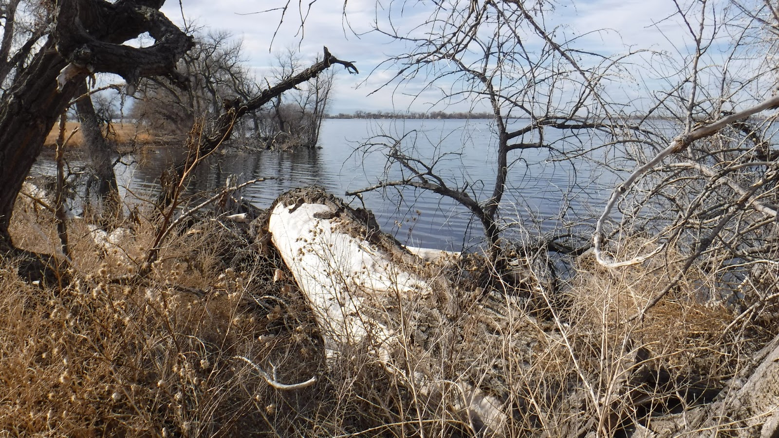
| Log and lake view |
 |
| 2 Ducks in setting sun |
 |
The tree near the center has a dark blob near the top that is the eagles nest,
Front Range mountains behind in clouds |
Our nature viewing for the day included the Canadian Geese mentioned above, various songbirds, and a beaver or otter swimming by in the canal beside the gravel path we were walking on. It may have been early for foxes, squirrels and chipmunks, but I bet they are here too. Eagle viewing is a month earlier in the year, watch for dates next February.
Picnics are encouraged, with 3 different picnic areas with tables and grills plus the Meadowlark Picnic Pavilion for groups. You can get more information at 303-659-6005.
 |
| One of many groups of birds attracted to the lake's waters |
 |
| The setting sun and Barr Lake |
 |
| The gravel path/road and the canal beside local farms and homes |
 |
| By the Niedrach Trail and shoreline |
Barr Lake is situated downstream of the Denver Stockyards and the sewage treatment plant, and was receiving infusions of raw sewage constantly. By the 1960's the lake had earned the horrible distinction of being declared the largest inland sewage lagoon in the United States. Declared a"menace to health, safety and welfare" by the Colorado State House of Representatives in 1964. The following year, a powerful storm swelled the waters of the Platte River. Raging water rushed down the irrigation canals and through Barr Lake, effectively flushing the sewage from the lake. In 1977 the Colorado State Parks created Barr Lake State Park, to preserve this "island of habitat in a sea of urban development". It has been kept clean since and is quite nice.
Part of the park that is appealing to me is the available nature to study and the Nature Center. Bird watching was discussed by many visitors and rangers. Some rangers are naturalists and can explain the park's wildlife. The park is also the headquarters for the Rocky Mountain Bird Observatory and they offer public programs and banding stations in the park. Their phone is 303-659-4348 and on the web at
www.rmbo.org. The Bird Conservancy of the Rockies is
HERE.
 |
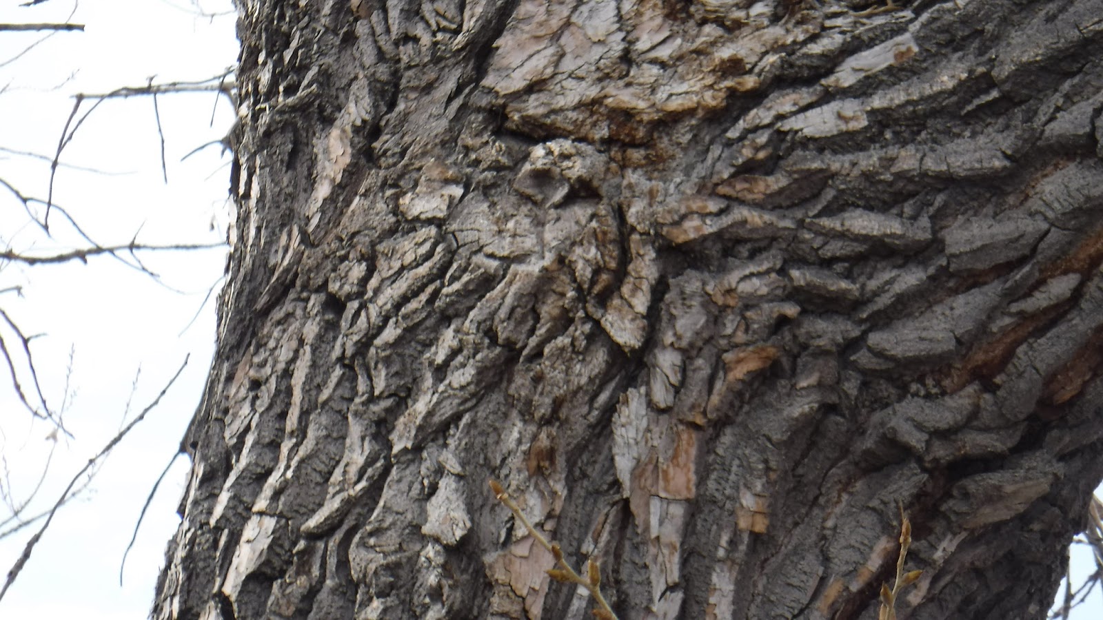
| I see a tree looking back at me... |
 |
| The Denver-Hudson Canal beside the gravel path/road looking south |
 |
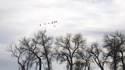
| More geese above Barr Lake |
 |
| Last view back |
Another interesting tidbit of information that I learned about Barr Lake is that it is co-managed for irrigation and recreation. The lake is owned and operated by the Farmers Reservoir and Irrigation Company (FRICO). The Denver-Hudson Canal on the east side of the lake is owned and operated by the Henrylyn Irrigation District. Each company owns the respective land under the lake and canal, the water in them and the irrigation control structures around them. Presently, the water in Barr Lake is stored and used for downstream irrigation projects on the Colorado plains while recreational uses are secondary. The water in the canal bypasses the lake and fills Henrylyn irrigation projects downstream. Colorado State Parks opened Barr Lake State Park in 1977 and manages recreational activities through perpetual easements with FRICO and the Henrylyn Irrigation District. Quite a government/private sector agreement and a it seems to be a successful one at that!
Visiting any State Park in Colorado is pleasant on a spring day, even during windy ones like today. To get to Barr Lake from I-25, take I-76 North East from Denver. Follow the signs and exit at Brighton onto Bromley Lane/152nd Avenue and go east to Picadilly Lane where you then go south to the park entrance sign on the right. A daily pass, or Colorado State Park Annual Pass is required. Sorry, no camping is available here.