Friday, March 27, 2015

The Colorado Trail

Along the Colorado Trail.  All photos courtesy the Colorado Trail.
I have wanted to through-hike the Colorado Trail since I first moved to the state in 1993.  The trail stretches 480 miles from Denver to Durango following the continental divide.  Most of the trail is above treeline and it is divided into 28 sections.
The trail passes through 6 Wilderness Areas, 6 National Forests, penetrates 8 of the states mountain ranges and traverses 5 major river systems.


Total elevation gain of the trail is 89,354 vertical feet, or more than climbing Mount Everest from sea level THREE times.  Trail elevation ranges from 5520 feet at Waterton Canyon at the Denver Trailhead to 13,271 feet just below the Coney summit in section 22.  Average trail elevation is 10,300 feet.


Through-hikers usually complete the trail in 4-6 weeks.  Numerous road crossings make it possible to meet family and friends (bearing food) and allows Section Hikers to cut the trail into do-able pieces. It rains most every day and lightning is a real safety concern; most hikers setup camp for the night before the rains and lightning start.


The trail can also be ridden by mountain bike, excepting Wilderness Areas and there are trails/roads around those.  You can also use a pack animal like a horse where you can ride it or carry your gear. Or you can go like my friend Mike who has used a llama each year to carry his groups gear while section hiking the trail.


The beauty of the Colorado Trail is beyond outstanding and hiking through summer wildflowers at elevation with forever-long views can't be beat.   Expect daily temperatures to run from a high of 80 degrees to a low of 30 degrees.  There are two long sections where water may be an issue. Cell phone coverage is spotty at best an many hikers use a Spot tracker service to notify family of their location (helps with rendezvous) and to call for help.  Some sections near towns will be busy with people day hiking on weekends but most of the trail will be quiet.
For a blast into the past you can even board the Durango Silverton Narrow Gauge Railroad at Elk Park on the CT and ride to Durango or Silverton if you have a ticket.


Backpackers can begin hiking the trail in late June and must finish by early September due to weather.  Even then it can snow every month in Colorado at the elevations the CT passes through.
Planning for the hike will take a little time.  Check out the Colorado Trail Trip Planning section and read the Guidebook.
If you live or vacation in Colorado consider joining the Colorado Trail Volunteers to maintain and work on trail sections part of the season.  Your generosity will be enjoyed by many.
When you go backpacking on the Colorado Trail, bring the CT Data Book and Trail Maps.  Happy hiking in some of the best scenery Colorado has to offer!

Friday, March 20, 2015

Golden Gate Canyon State Park

Golden Gate Canyon State Park Panorama Point Scenic Overlook
Golden Gate Canyon State Park is only 30 miles from Denver, but it encompasses 12,000 acres at an elevation range from 7600 feet to 10,400 feet.  The state park has 36 miles of hiking trails and has 22 miles of trails for mountain bikes and horseback riders to enjoy.
Camping is the reason at Golden Gate Canyon State Park, and the campsites are highly rated.  Do plan ahead and book your site before traveling.  Backpacking sites usually don't require reservations, just avoid holidays and camp during weekdays if you can.  For questions about Golden Gate Canyon, call the park at 303-582-3707.
The park hosts 134 campsites plus backcountry sites that are not too far away from a road.  They even have a few shelters at the backcountry sites, built as lean-to's like used on the Appalachian Trail. There are cabins and yurts at $60/night/6 people, plus the historical Harmsen Ranch Guesthouse at $220/night/8 people for overnight lodging.  The camping areas also handle tents at $14/night (no electric) and trailers and RV's $18/night, some with electrical hookups.
For a tent-only experience, plan to camp at Aspen Meadows.  Tents, trailers and RV's are welcome at Reverend's Ridge in the park.  No tent, no problem.  Just book a cabin or yurt to spend the night.
By the way, the owners of the Harmsen Ranch Guesthouse were the founders of Jolly Rancher candy company in Denver.  Sweet!  

View within the park
The park features snow capped mountain views, sub-alpine wildflower meadows, pine and aspen forests and offers fishing along with hiking and rock climbing.  Hunting in Jefferson County is allowed during the season.  The Panorama Point Scenic Overlook offers views of over 100 miles of snow packed peaks along the continental divide.
While the park is generally busy year-round, you can still keep to yourself on the backcountry trails and campsites.  This is an excellent location to test your new backpacking equipment or train for your long backpacking trip as your car is never more that a few miles away.  You still get the cool nights, wildlife and outdoors peace at significant elevation.
The Park Map will give you a good idea of what to expect.
Keep in mind it is close to the metro Denver area for a quick weekend or weekday get away and you won't be the only person who had that same thought.
To get there, take highway 93 north from Golden, Colorado for a mile and a half, then turn left onto Golden Gate Canyon Road and follow it for 13 miles to the park entrance.

Friday, March 13, 2015

Sellars Gulch Trail

Sellars Gulch Trail from Festival Park
We joined Sellars Gulch Trail in downtown Castle Rock in the parking area in front of the city police station for a short after-lunch walk.  Back in the 1880's, Castle Rock was founded at the confluence of Plum Creek and Sellars Gulch.  Both waterways supported the early community with water for drinking and lumber for building, both needed at the time.
At the Festval Park, there are seating and performing areas, public art and a paved connector to the Plum Creek Trail.  Parking is good here for a quick stroll, with a nearby coffee shop to rest in afterwards.
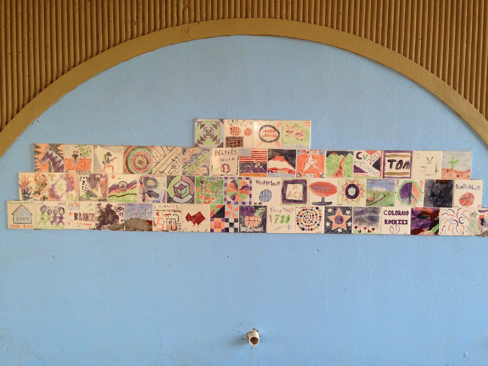
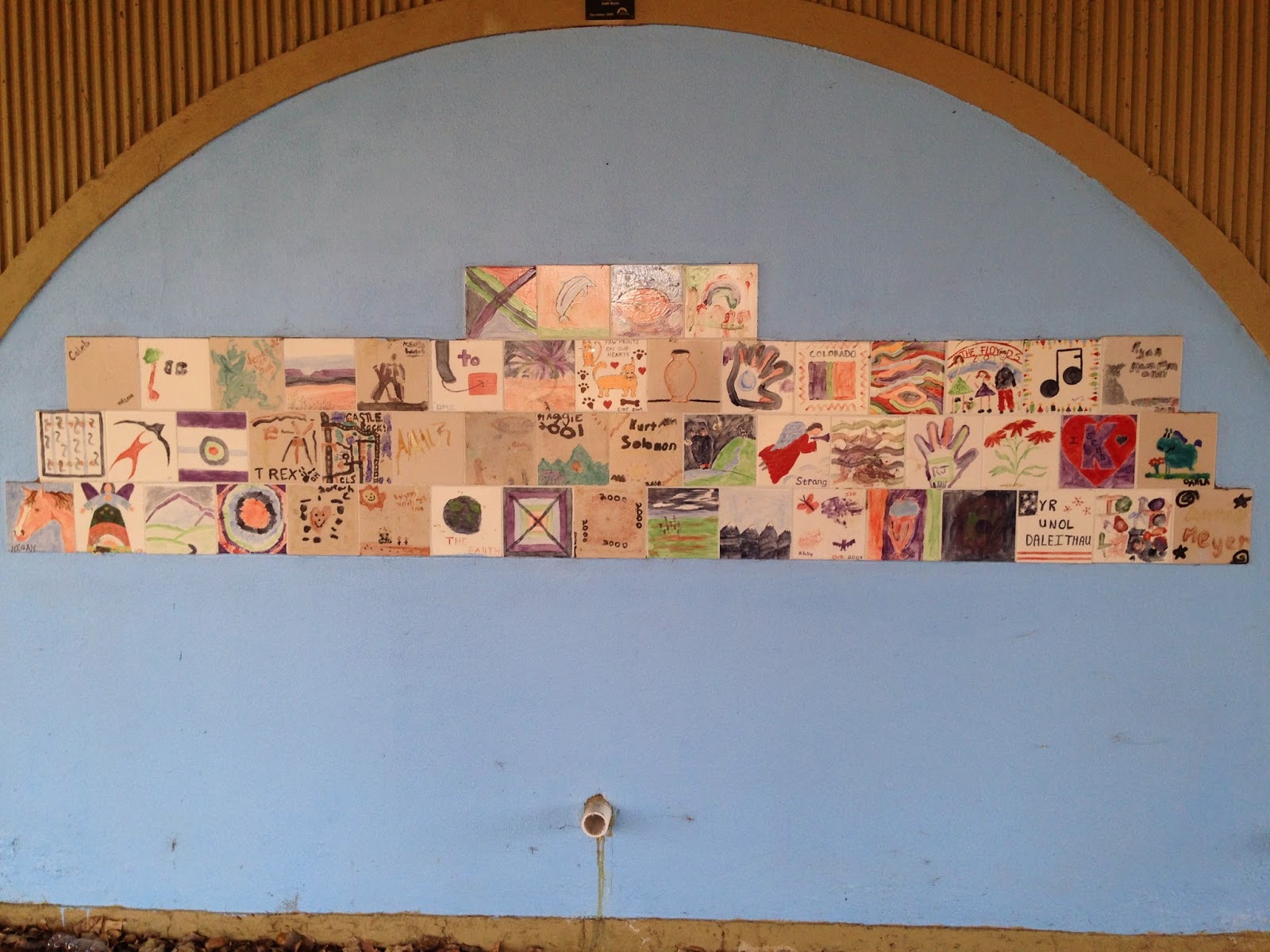
Heading easterly the trail quickly goes under Perry Street.  Over the years the city added tiles to the bridge wall, all hand-painted by community children.  I attached the 4 tile panel photos below.  Our child's tile is still there, 15 years later.

A panel under the bridge with children's tiles

Another panel under the bridge with children's tiles

And another panel under the bridge with children's tiles

And even another panel under the bridge with children's tiles

The trail continues to slowly climb the hillside beside the gulch.  Beavers have made pools behind their dams.  Trees are everywhere along the water here, even the ones chewed down by the beavers.  Lots of birds chirp.  All this and we are still in downtown Castle Rock!
We pass under the Union Pacific (old Denver and Rio Grande) railroad bridge and continue walking along the trail.

Tribute sign along the trail
After a slight curve we come to a marker on the trail that speaks of a former town Mayor, Ray Waterman who was very instrumental in creating the fine community of Castle Rock we know today.  A bench that was also dedicated to Mayor Waterman faces the stream for relaxing. We are behind the Douglas County Fairgrounds and turn around where Lewis Street crosses Sellars Gulch from the Craig and Gould neighborhood. The Sellars Gulch Trail crosses the water on a bridge here and continues much further, wrapping around the ball parks southeast of the fairground.  We plan to walk the area soon. 
We like the paved trails because we can walk them a couple days after a snowfall and keep our feet dry.  A second mountain bike rider swooshes past us.  Several walkers greet us on the trail.

Bench dedicated to Mayor Waterman
A map showing Sellars Gulch Trail where it connects with the Plum Creek Trail is HERE. Look near the bottom right of the page.
To hike this trail, exit I-25 at 181 Plum Creek Parkway, turn east and follow to the second stop light at Wilcox Street.  Turn left (north) and follow to Second Street.  Turn right and park on the right side of the street.  Begin your hike in Festival Park.

Friday, March 6, 2015

Colorado Bluebird Project

Colorado Bluebird
The Colorado Bluebird Project Nest Box Monitoring of 2015 will begin April 1st, 2015 and run weekly through September 1st.  The project is under the guidance of the Audubon Society of Greater Denver and is used to gather scientific information about the Bluebirds and whether they are increasing in population locally or not.
The Town of Castle Rock has over 150 Bluebird houses installed in the community and uses volunteers from the POST Partners of Castle Rock to monitor the birdhouses during the nesting season annually.  If you are interested in volunteering, here is a brochure which explains the project in more detail.
Colorado Bluebird Box
These beautiful birds have had a difficult time nesting and raising their young because of land development and the use of metal fence posts.  They are secondary cavity nesters, which means they must rely on other species used nesting cavities to make their homes, or they use artificial nest boxes.
The program has you check specific nest boxes weekly and keep an online Google Docs document current with your findings.  Training is offered with about 2 hours a week being all the time needed to monitor a nest box.  Other volunteers build new boxes and install them in March each year.
If you don't live in Castle Rock, check for spring and summer volunteer opportunities with your local Audubon Society.
The Training Manual is a PDF located here.  Training is offered at 7PM Wednesday, March 18 at the Castle Rock Town Hall in the upstairs Chamber Room.  I hope you can make it.