 |
| Trail sign from the Plum Creek Trail |
Hangman's Gulch Trail...now that is a trail name oozing with history, of intrigue, maybe even murder along the open plains...Plus it makes a great cross trail!
So, how did Hangman's Gulch get its name? I went to the Douglas County History Research Center at the Douglas County Library to ask someone who knows. This story goes back to the time when Colorado was still a territory. The Pikes Peak gold rush began in 1859. The Colorado Territory was established in 1861 and Colorado didn't become a state until 1876. Towns were very few and far between. The land was mostly claimed by native american tribes and the area was sparsely populated with people crazy enough to live in a place like that.
The story goes that back in 1867 (before the town of Castle Rock was settled) a homesteader along East Plum Creek was murdered by two men who were passing through the county. The settler's body was discovered the next day by neighbors and the murderers were tracked to the area around Palmer Lake. When they were confronted, several articles belonging to the murdered man were discovered in their possession.
 |
| Paintings on the railroad bridge walls |
They then "all but confessed". One of the men became violent and the posse quickly hung him from a nearby tree. The second man was taken to the area about one mile north of Castle Rock and after a "short trial was hanged there". He was buried in the gulch, only to resurface a few years later when his grave was washed out by a flood. The skeleton was put together and was used by the public school science classes until the building burned in the 1880's.
Shaun Boyd, the Archivist at the Douglas County History Research Center told the Hangman's Gulch story to me and shared some inconsistencies about the report. There are several problems proving this account including; a lack of names, no mention of a death or murder in the area, why they took the accused murderer to Castle Rock instead of the then county seat at Franktown, the wrong date for the school burning down, or even a mention of the hanging itself. Apparently this is what a legend is, some event where the details have faded from memory.
 |
| The trail under the railroad bridge |
 |
| This bridge was built in 1918, about 97 years ago |
 |
| More paintings |
Hangman's Gulch Trail
opened in May 2013 and will eventually take hikers coming from Chatfield State Park to the Cherry Creek State Park along the
Front Range Trail. We hiked the trail this day from its connection on the Plum Creek Trail. It runs about one and a half miles from Plum Creek to Woodland Boulevard and is open to bicyclists also. The trail climbs up the gulch and winds its way toward the Douglas County High School and the Castle Rock Rec Center. The first of 3 bridges it goes under is the railroad bridge. This bridge was built in 1918 which was almost a century ago. The wall to the south has a painting of Castle Rock, the north wall has a railroad engine, both painted in a very creative way with the use of a flock of birds.
 |
| Old highway 85 bridge |
 |
| The old highway 85 bridge from uphill |
The trail continues uphill along the gulch. An old silo sits off to the north in the field and there are trees with birds chirping as you go. The next bridge the trail goes under is the old Santa Fe Trail or Highway 85, which used to go straight through downtown Castle Rock. The paintings at this bridge tell the agricultural and Native American stories of Castle Rock. The second picture shows the cattle that were ranched here along with the garden and chickens on the retaining wall. The trail continues climbing up the gulch. The mountains start coming into view to the west as the trail climbs the hill.
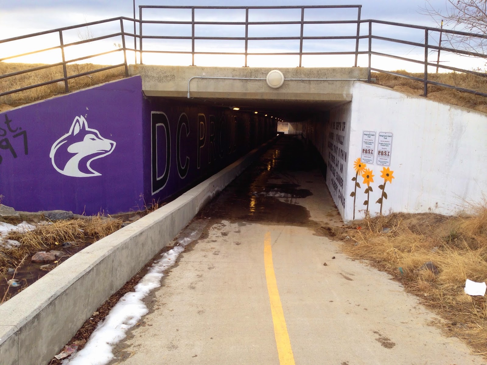
The next roads the trail goes under are Interstate 25 and Front Street. Here the Douglas County High School students have painted several literary sayings on the wall and have decorated the bridge with the school mascot and colors. I like the way winter is depicted in prose. This long tunnel is lit.
From here the trail continues climbing the hill to the Castle Rock Recreation Center. It meets up with the Castle North Trail connecting neighborhoods to the High School. Continuing across the street uphill from the Rec Center takes you into the Woodlands Trail and Park, from which you can continue uphill to Founders Parkway near the intersection with highway 86 and Ridge Road. Just northwest of this intersection begins the drainage called Hangman's Gulch.
 |
| Downhill entrance at I-25 |
 |
| The first literary promise is a proverb |
 |
| More prose |
 |
| And more... |
 |
| And more... |
 |
| The uphill entrance of the bridge tunnel under Front Street |
To hike the trail, you can park at the Meadows Trailhead and follow the Plum Creek Trail south to the junction with Hangman's Gulch Trail. To get there, from I-25 take exit 184, go west to the Meadows. Cross Highway 85 and the railroad bridge, then turn left into the parking area.


No comments:
Post a Comment