Showing posts with label bicycling. Show all posts

Friday, March 24, 2017

Spring Afternoon at Barr Lake State Park

Barr Lake Entrance Station
So it was a windy, cool day in early March at Barr Lake State Park, about 15 miles NE of Denver on I-76.  My wife and I were here to see the eagles, nesting like they do annually on the lake.  We did see the nest across the lake, but no eagles this time.  We did see quite a few other types of bird here, especially Canadian Geese.
Our visit today brought us to the Visitor/Nature Center first, to watch the birds fluttering just outside the window and to see the nature displays inside.  From there, we walked outside across the canal on the bridge and turned left onto the gravel path/road which encircles the lake.

Lake Barr

Another flock of Canadian Geese

The Welcome/Nature Center near the parking and picnic areas
Barr Lake has had a varied history.  Beginning as a buffalo wallow, the native Americans like the Arapaho and the Cheyenne hunted buffalo, antelope and deer here.  A buffalo or bison wallow is a deflation basin created by strong prairie winds.  By 1876, when Colorado became a state, the once-endless supply of buffalo were now gone, slaughtered by the millions, their migration paths blocked by new railroads and fences.  Taking their place now were the Longhorn cattle.  From 1860, the cowboys rounded up the Spanish cattle in herds and drove them north on the Goodnight-Loving Trail, right through the old Barr Lake wallow.  The Longhorn cattle were shipped east by railroad to feed a growing east coast population.
Tourism came next to the area with the construction of the railroad and Barr Lake Rod and Gun Club. In 1886 a group of wealthy Denverites established the Oasis Hunting Club, available by rail to the recently established Barr Depot at Barr City (first called Platte Summit).  Water was diverted in 1891 from the South Platte River to create the Oasis Reservoir.  Then in 1908, in an effort to meet an increase in water demand for the plains farmers, both Oasis Reservoir and the neighboring Burlington Reservoir were combined to create Barr Lake.  During WWI the US Army stationed soldiers at the lake to prevent enemy saboteurs from poisoning the water.  Following the Barr City railroad depot closure in 1931, the town ceased to exist.

Note the water lines on the tree trunks

One of the many old Cottonwood Tree remains by the trail

Cottonwood Inside

And the elves live here...
The new lakes here provided a constant water supply and attracted an abundance of trees, Cottonwoods and birds.  You can see and hear those birds here today.  Here are a couple of the Canadian Geese that did't fly away today when we walked by them, twice.

Goose 1

Goose 2

Both Geese

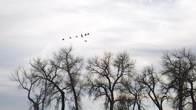
Geese aloft  
On the walkway around the lake, we hiked the Niedrach Trail (named for a prominent ornithologist who visited here) and its boardwalk across the water, continued along the gravel path/road beside the canal where we saw a beaver (possibly an otter), saw the Fox Meadow trail, and walked out the boardwalk to the Gazebo where we could see the eagle nest on the southern shore. It took us about an hour to reach the Gazebo with lots of photo stops along the way.
The wind was cool and the sun was setting, so we hiked back to our car from here, checking out the picnic area by the Visitor Center with the wind-walls built onto the picnic tables like we had seen at Badlands National Park.  A couple of bicyclists passed us along the path, making good time even in the wind.

My kind of western picnic table with a wall to keep your plate from blowing onto your chest...

Sign at the Gazebo Boardwalk

View from the Gazebo Boardwalk

View from the Gazebo Pavilion

And the view of Barr Lake looking north from the Gazebo Pavilion

The long boardwalk to the Gazebo across the lake

Barr Lake Map
The park covers 2,715 acres, Barr Lake reservoir is 1,900 acres.  About 350 species of birds have been seen at the lake, making it famous on both a national and international basis for the large amount of birds seen (especially in dry Colorado).  Bring your binoculars!  A bird viewing and check list is HERE.
Fishing is also very good here, just bring your rods and Colorado fishing license.  Waterfowl hunting is also allowed during season, contact the park office for more information at 1-800-846-WILD. Archery, ice fishing and snow shoeing are also popular depending on the season.
Boating is allowed here on the northern half of the lake.  Bring your sailboat, kayak, canoe, or electric/trolling/10 hp or less gasoline powered boat.  A line of buoys separates the wildlife refuge and hunting area.  Swimming, wading and diving are prohibited.  Horseback riding is allowed.

A beaver or otter swimming in the canal

The sweet songbird who stayed still but not quiet

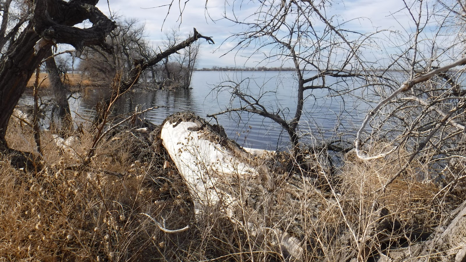
Log and lake view

2 Ducks in setting sun

The tree near the center has a dark blob near the top that is the eagles nest,
Front Range mountains behind in clouds
Our nature viewing for the day included the Canadian Geese mentioned above, various songbirds, and a beaver or otter swimming by in the canal beside the gravel path we were walking on.  It may have been early for foxes, squirrels and chipmunks, but I bet they are here too.  Eagle viewing is a month earlier in the year, watch for dates next February.
Picnics are encouraged, with 3 different picnic areas with tables and grills plus the Meadowlark Picnic Pavilion for groups.  You can get more information at 303-659-6005.

One of many groups of birds attracted to the lake's waters

The setting sun and Barr Lake

The gravel path/road and the canal beside local farms and homes

By the Niedrach Trail and shoreline
Barr Lake is situated downstream of the Denver Stockyards and the sewage treatment plant, and was receiving infusions of raw sewage constantly.  By the 1960's the lake had earned the horrible distinction of being declared the largest inland sewage lagoon in the United States.  Declared a"menace to health, safety and welfare" by the Colorado State House of Representatives in 1964. The following year, a powerful storm swelled the waters of the Platte River.  Raging water rushed down the irrigation canals and through Barr Lake, effectively flushing the sewage from the lake.  In 1977 the Colorado State Parks created Barr Lake State Park, to preserve this "island of habitat in a sea of urban development".  It has been kept clean since and is quite nice.
Part of the park that is appealing to me is the available nature to study and the Nature Center.  Bird watching was discussed by many visitors and rangers.  Some rangers are naturalists and can explain the park's wildlife.  The park is also the headquarters for the Rocky Mountain Bird Observatory and they offer public programs and banding stations in the park.  Their phone is 303-659-4348 and on the web at www.rmbo.org.  The Bird Conservancy of the Rockies is HERE.

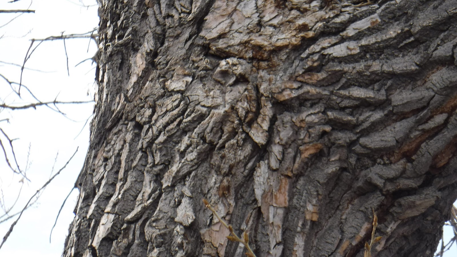
I see a tree looking back at me...

The Denver-Hudson Canal beside the gravel path/road looking south

More geese above Barr Lake

Last view back
Another interesting tidbit of information that I learned about Barr Lake is that it is co-managed for irrigation and recreation.  The lake is owned and operated by the Farmers Reservoir and Irrigation Company (FRICO).  The Denver-Hudson Canal on the east side of the lake is owned and operated by the Henrylyn Irrigation District.  Each company owns the respective land under the lake and canal, the water in them and the irrigation control structures around them.  Presently, the water in Barr Lake is stored and used for downstream irrigation projects on the Colorado plains while recreational uses are secondary.  The water in the canal bypasses the lake and fills Henrylyn irrigation projects downstream.  Colorado State Parks opened Barr Lake State Park in 1977 and manages recreational activities through perpetual easements with FRICO and the Henrylyn Irrigation District.  Quite a government/private sector agreement and a it seems to be a successful one at that!
Visiting any State Park in Colorado is pleasant on a spring day, even during windy ones like today.  To get to Barr Lake from I-25, take I-76 North East from Denver.  Follow the signs and exit at Brighton onto Bromley Lane/152nd Avenue and go east to Picadilly Lane where you then go south to the park entrance sign on the right.  A daily pass, or Colorado State Park Annual Pass is required. Sorry, no camping is available here.


Friday, March 10, 2017

First Bike Ride 2017 On Spruce Meadows Trail

First 2017 ride on my 2003 bicycle, still going...somewhat
This week was my first 2017 bike ride, not counting the 1.2 miler I did last week after adjusting my mountain bike after a couple years of neglect.  Not that it was finished or anything, as I found out after starting my ride on Spruce Meadows Trail, an 8.6 mile fairly easy pedal through the Greenland Open Space area, where cattle still grazes on specific plots for weeks each summer.
By the way, this area is one of the widest-open spaces in Colorado, where you can see for miles in most directions and get a real feeling for what "Open Space" really is.

Snow covered Pikes Peak, Spruce Mountain to the right
The first leg is an easy pedal 1.9 miles to the southwest, going toward Spruce Mountain.  Pikes Peak glistens with snow ahead, Spruce Mountain rises to my right.  The trail passes 2 ponds along the way, and winds around some drainage's.  The elevation increases 200 feet in this 1.9 miles, but is not difficult unless you are new to bicycling at 6800-7000 feet elevation.  After traversing the property, I crossed under Spruce Mountain Road in a large culvert made for this, and climbed the hill on the south side of the road.

Colorado often uses culverts like this for trails
Here is where I experienced derailleur problems where the gears kept shifting on their own, causing me to loose traction on the hill.  I got off and pushed my bike up to the picnic table beside the Spruce Mountain Trail where I often hike.  By balancing the bicycle frame on the table seat edge, I was able to loosen the tension on the rear derailleur cable to fix the self-shifting problem while changing gears and spinning the wheel.  Then I enjoyed a snack and watered-up.  The wind here was gusting in the mid-30's, and it was a cool 60 degrees if you were not pedaling.
17 years of riding this bicycle and some parts are now worn out.  I keep nursing the bike along until I can replace it.  The derailleurs, shifters and rear cogs may be next.  I bought it in Castle Rock in the early spring of 2004 (a 2003 model) and mostly rode it off-road and on bike trails locally, then mostly paved trails since 2010 when I upgraded the tires, hand grips, chain and added the rear rack.  I like the way the bike fits me, and the way it is geared.  I hope I can make it last a for few more years of easy bicycling.

Spruce Mountain ramparts...
Continuing to the right...
From here, I rode past the Spruce Mountain Trailhead and north up the meadow and past another pond toward Eagle Pass. It was hard enough riding uphill into the wind, but when I passed the cutoff trail, the wind was now blowing from my left, causing me to pitch over to the right, often catching my pedal on the rough and rutted trail.  I finally took my feet out of the toe clips so I could dab the ground to prevent falling while pedaling occasionally on the downhill leg.  The entire Front Range opens to my left, the town of Larkspur is straight ahead with Rattlesnake Butte on the left across I-25. It was a long 1.6 miles of dabbing grassland to Noe Road.  As I neared Noe Road, I got off and walked the bike the last few yards.

From the top of Eagle Pass, looking north toward the town of Larkspur
Noe Road is named for a pioneer farmer/rancher who lived in this area way back when the Native Americans caused serious problems for the settlers.  It is a dirt road, coated with what I call "Dipity-Doo" to keep the dust down, worth every penny in wind like we are having today.  Here I could continue along the trail with another 5+ miles of toe-dabbing through the meadows, or follow Noe Road 1.5 miles back to my car with the wind at my back.  I opted for the wind at my back and pedaled back to my car with no gear problems.

Looking back south to Eagle Pass
The trail is within 20 miles of my home, and I plan to come back when the wind is not as strong, and ride the whole loop at one go.  That may be a couple to three weeks from now as the weather is turning colder and some March snow is forecast.  My experience with these meadows is that a little moisture turns it all into a quagmire for a couple days, until the sun and wind dries it out again.

Trail Sign at Noe Road
To find Spruce Meadows Trail, south of Castle Rock exit I-25 at #167, turn west, bypass the Greenland Open Space Park, unless you need to walk your pet or get drinking water, carefully cross both railroad tracks and turn left into the Spruce Meadows Trailhead parking lot.
If you want to hike or bicycle a mountain instead, continue west to Spruce Mountain Road, turn left (south) and follow less than a mile to the first right, and turn into the Spruce Mountain Trail parking area.

Trail north of Noe Road, lots more grass, Rattlesnake Butte on right


Friday, June 17, 2016

Summer of Volunteering


A couple weekends ago, I began this summer volunteering as a crew member of Castle Rock's Elephant Rock Bicycle Ride.  I drove back and forth all day to pick up weary bicyclists and transport them and their bicycles either to the next SAG Stop for emergency repairs or back to the starting location of the ride.  I had a great time and spent the day outdoors in wonderful weather.

I have been volunteering weekly for Project ReCycle as a bicycle mechanic since moving back to Colorado in 2014, and have been recently asked to step up to a position as Communications Manager.  In this volunteer position, I am responsible for keeping calendars current, writing newsletters, coordinating media coverage, and for shooting Internet video of tutorials, events, fund raising and training.  I like the opportunity for the experience I am getting working in a non-profit and the fact I can use my previous media experience as a television news and production videographer to support Project ReCycle in their mission.  And I am still welcome to use my hands to repair bicycles.  You can read more about Project ReCycle HERE.


In mid-June, I am driving the Project ReCycle truck during the premiere Ride The Rockies event, where the PR Team will be bicycling the beautiful Colorado mountains.  I will be setting up the truck, tent and tables in the communities the ride passes through, working a SAG stop, shooting photos of the Project ReCycle Bicycle Team riders, and sleeping on the ground each night in the mountains.  I rode Ride The Rockies back in 2001 and have been looking forward to supporting this event in some way because it is so professionally executed.  It was my best supported tour by bicycle, ever.
It may sound funny that I am supporting bicycling instead of backpacking, but after I broke my collar bone in 1998 and couldn't carry a backpack, bicycling became my great love.  Many years later, with ultralight equipment and lots of bone-healing, I have returned to my first love of backpacking, making my first overnight backpacking trip in 15 years (read about it here).  I still bicycle occasionally, but not the 200 mile weeks I used to ride.  And supporting Project ReCycle has given me a great community-centered opportunity to help children with bicycles.
It is something I did in the mid-1990's too.  I picked up children's bicycles that were in the trash, repaired them and saw they were freely given to needy children in the community.  The tearful, down-on-his-luck dad who was so thankful, hugging me tightly for the gift to his child is something I will never forget.  Too bad I didn't see the non-profit business opportunity of doing this at the time.  But the people at Project ReCycle did see it, followed through, and several years later, have asked me to help them.
So, while working a media job and volunteering for Project ReCycle, I will still be getting out this summer on overnight backpacking trips, starting after Ride The Rockies.  The tent I purchased for Ride The Rockies will be my same tent for backpacking this summer.  So you see, bicycling and backpacking in my life are both related in some way.
Maybe the jobs I applied for haven't worked out as I planned, or the cool business opportunities didn't materialize, but by hanging in there and continuing to volunteer for something important to me, life is working out, and that's the lesson.  And it is working out pretty well.

Friday, March 18, 2016

Preparing for an active summer

Hiking in Colorado
Several days a week this winter I have been exercising indoors, preparing for an active summer season. Though my plans are still in progress, I see myself in the outdoors a lot this summer. I hope to backpack and bicycle in the Colorado high country, and need to develop my body to handle the trips. I need to be in shape for road trips too and keep my health good in general.
Four days each week, I do 50 crunches, 25 push-ups and 20 squats, plus 15 minutes of stretching my legs. My leg muscles have always been tight, and now they are tighter.
On alternate days I go the gym where I live, ride the recumbent bicycle and lift weights on the machines. I started bicycling 30 minutes a day during January's cold, now in March I ride harder for 20 minutes including a 5 minute cool down. I setup a manual workout, either a series of climbs or on-off wind sprints. On the weight machine I do ten sets of ten bench presses, pausing a few moments between each set. I also perform a rowing and a bar pull-down exercise with differing weights. My goal is to increase muscle mass and tone and to strengthen my core.
My plan has been working for me, and while I keep increasing weights and duration's a bit weekly, I am sleeping better, standing straighter and climbing stairs easier. My weight hasn't changed much, but you can now see the muscles in my arms and abs. My work is at a sit-down job indoors, so I get up every 30-40 minutes and walk around the building.

Pavement ends on Ridge Road in Castle Rock last summer
I live at 6300 feet of elevation, so I still get out of breath climbing stairs. When I used to live here and bicycle centuries weekly, I was still out of breath on stairs. I climb stairs daily at home and work and weekly when volunteering.
My good weather plans for April are to leave the gym behind and begin a 2 day per week hike while wearing a day pack for 5 miles each day, and increase the miles as summer approaches. I also plan to dust of my bicycle and begin riding that on local bike trails, alternating with hiking one to 2 days weekly. I plan to increase the mileage, days and training time on the local hills to be able to ride a metric century (60 miles) easily by mid summer.
No superlative goals yet, but I am getting rid of my winter flab and am toning up for a busy summer in Colorado, planing to be able to enjoy the great outdoors!


Friday, March 4, 2016

Walking Time in Downtown Denver


Looking downstream along Cherry Creek Trail
On some winter days, the weather is so warm in Denver, you start to think you are living somewhere else. Then you step into the wind, or see the mountains to the west and shrug your shoulders at the dream.
It was 71 degrees one weekend day last week, overcast and breezy.  A "shorts" winter day, with just about everyone in town outside, enjoying it. Some went as far as sleeveless tops and running shorts, others with their winter coats open or slung over their shoulders. On the trails, bicycles were thicker than walkers, whooshing by close enough to feel them.

It is clear enough to see the bottom of Cherry Creek
I had 45 minutes to spare today, and walked along the Cherry Creek Trail through downtown Denver. Flanked by Speer street on both sides, the creek bisects the paired 4 lane road through the center of town. Once I descended a ramp to the trail, the street noise all but disappeared. The sound of the rushing creek was soft and soothing. Couples, lovers, friends, families, co-workers and solo walkers like me moved along with the water. Bicyclists whooshed by in both directions. A couple bicycles carried wireless speakers blasting music along with them, the Doppler Effect raising up as they approached and falling back down as they passed you. The sky was hazy gray overhead, with few spotty clouds and occasional blue spaces. Ducks swam both up and down the stream with children transfixed on them, parents hanging on to their charges tightly.

Just one of the many bicycles on the trail today
One of many No Camping signs
Camping along the trail must be a problem, as signs saying "No Camping" were everywhere. However, the homeless population was along the sidewalks above the trail today. I walked a couple blocks from where I parked to the trail, crossed Speer and hiked downstream to where the bicycles and walkers split, with a trail on each side of Cherry Creek for them. Here I turned around and hiked back up the gentle slope. I paused under a few bridges in the shade to listen to the water running over the stones and marveled at the modern, straightened creek. Imagining how it appeared before Mayor Speer commissioned the road construction to restrain the creek and create this lovely inter-city park, I remember reading how Denver began at the confluence of Cherry Creek and the Platte River. Back then, a couple large, fallen Cottonwood trees were the only natural bridges across the creek, and most everyone used them to go back and forth. Horses and the few wagons just forded the creek at various spots. Four or five log houses, some with canvas roofs and all with dirt floors were the only permanent homes then, the others were tents and tee-pees. Looking up at the high rise buildings that make up Denver today, it is not too hard to think we may have lost something along the way. Here's a link to Denver History.

I wish Denver would look at a different way to handle storm water than pouring it into the creek
Many bridges cross Cherry Creek along the trail
I left the Cherry Creek Trail a block early and walked around some of the historic buildings along the way back to work. My little 45 minute walk through downtown Denver had been pleasant, reminiscent, and fulfilling.

These sound breaks are pleasant
Maps are HERE. To get there, drive to downtown Denver. Park along Speer Boulevard, safely cross the street and walk down one of the ramps to the trail. The creek grade is very gentle, so pick your upstream or downstream direction, and walk. Do carry water with you. I suggest parking near Confluence Park and walking along that section into town and back. There is a Flagship REI store near there that has a coffee shop inside the historic building. Rental bicycles are available near the trail. I saw many people riding rental bikes this fine day.