 |
| Daytime view of Castle Rock from the Rec Center parking lot, through the windshield, zoomed in due to the cold. |
In our first few weeks out west we have both been exposed to Colorado's unique weather extremes.
One of the greatest things about living out here (for us outdoors folks) is the close proximity to the mountains, prairie, forests, grasslands and deserts. My goal is to try to get out each week, if only for a short drive, a hike or a snowshoe into the wild.
Weather can be a problem, and I'm not going to get in trouble being stranded in the snow and ice. If it is too bad to get out, then I'll stay inside and keep my toes toasty by the fire. And I will plan future trips.
Today's quick walk was along the Bowl walkway in the Meadows development of Castle Rock, across from the Rec Center. We chose this paved urban area trail due to wanting to avoid Colorado's mud. Castle Rocks trail descriptions and maps can be located
HERE with more information about the community
HERE.
 |
| The paved walkway winds up the hill and into some trees. Note the snow clouds above. |
It was 37 degrees and overcast when we started, and we were both under-dressed for the wind. Snow was falling in Perry Park to the west, and you couldn't see the mountains for the snow falling in the north also.
The trail follows a drainage up the hill toward Founders Parkway. It climbs to the top of the ridge going through and around a few housing developments. There was some scrub oak and tall grass around, all in various browns. Portions of grass poked through the snow on the ground, some of it was still green. The pine trees were the tallest trees around and a few were specially placed by nature around stones and rocks. The trail builders had provided tot-lot toys for children and a nice covered picnic area with built-in grills, a staircase and a volley ball area. A squirrel dashed across the grass to a new hiding place. Birds darted among the trees. Houses didn't intrude on the trail and it was peaceful. And cold.
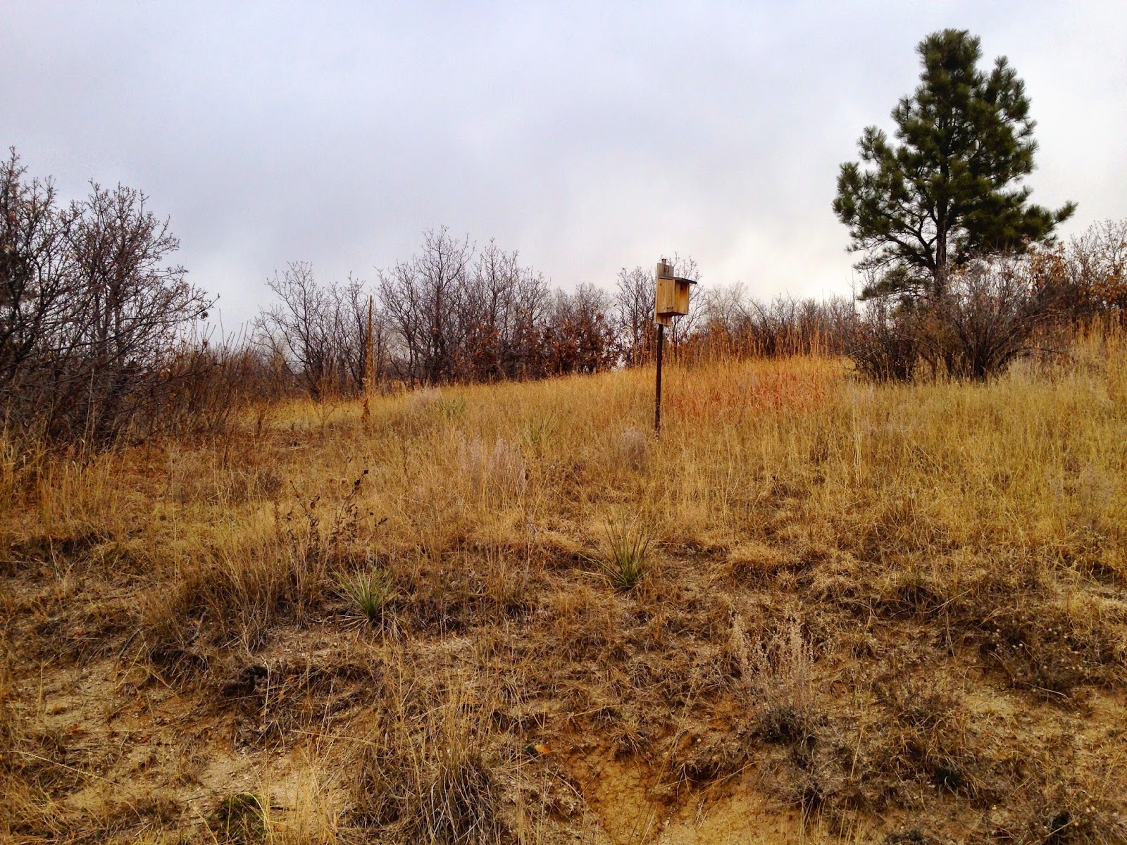 |
| A Bluebird house along the trail. |
Both of us got too cold too quickly, and we beat a hasty retreat back to the warmth of the car.
While my upper body was warm enough, my hands and legs were freezing. (Note to self - Silly man, jeans provide little to no warmth in windy, snowy weather).
Wearing the proper clothing is so important here, and we will have to invest in the proper outwear and water-proof boots.
 |
| Picnic Shelter. |
My phone was cold and it's camera wouldn't focus or use the correct exposure settings. I grabbed a couple shots along the walk, but had to give up on that also.
Not a relaxing walk today due to the lack of being prepared on our part, but I do remember smelling a pine tree as we passed it, the smell was so strong and pronounced. I remember that smell from hiking in the mountain forests out here. Special smells like that stay with you, for years after that first encounter.


