 |
| Sand Creek Massacre National Historic Site. |
I did stop along the road to shoot a few photos and I have included those below.
The Sand Creek Massacre National Historic Site is located along Sand Creek, which was also called Big Sandy and during the mid-1800's was part of an Indian trail into the region.
The ranger on duty told me "this site commemorates a national tragedy". Please read about the massacre HERE. There are many sites online, books, films and TV stories about the event. Living in Colorado, you become aware of the Sand Creek Massacre very quickly. Please click PLAY on the short video below.
The flag you see in the at the start of the video, is a 33 star flag, similar to the one Black Kettle flew from his tee pee with a flag of truce that fateful morning of November, 28th 1864. What I found there and tried to show in my short video, was peace. And quiet. Birds were the only sound I heard at the site other than wind. The few others who visited while I was there were thoughtful, respectful and quiet too. I feel it is important to remember these terrible events, the times that are not shiny and clean. Maybe by remembering them we can choose to not repeat them.
From my road trip (almost to Kansas) here are some photos from along the route.
 |
| Rusted Railroad Fuel Container along Highway 96 East |
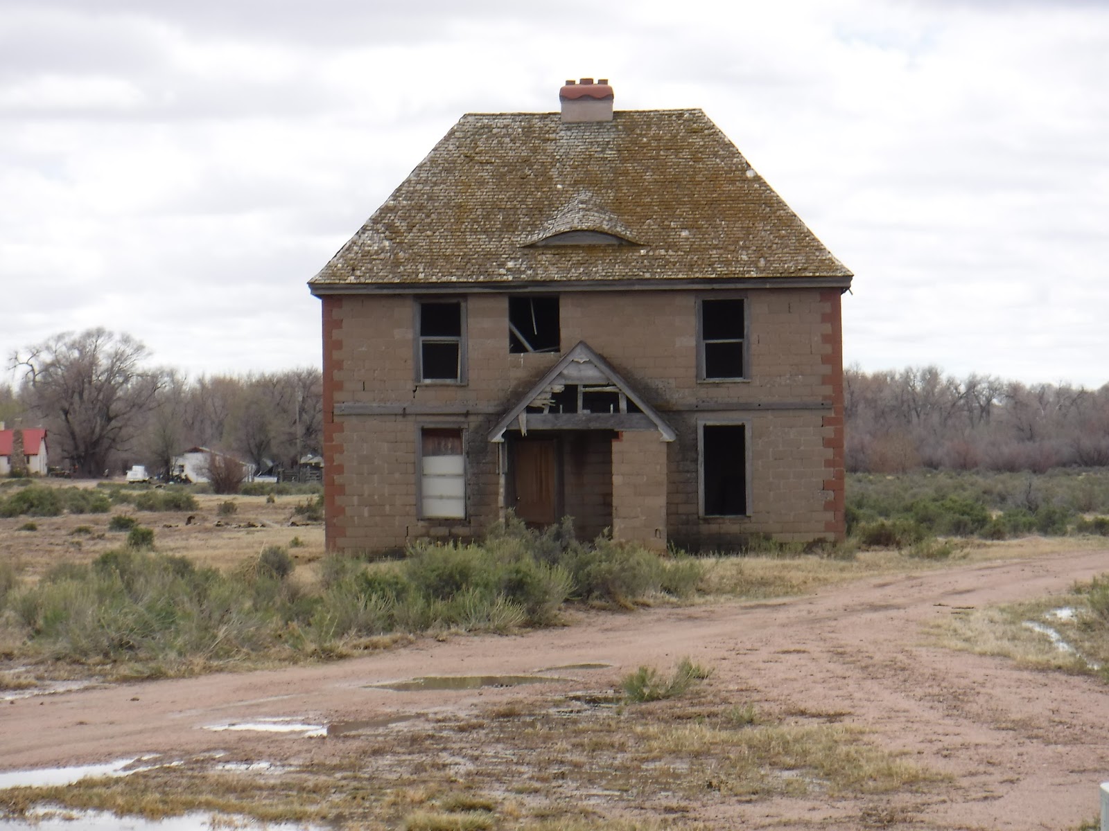 |
| Once-nice abandoned home along Highway 96 |
 |
| One of many cool old buildings in Ordway, CO |
 |
| Cannot refuse an old street sign in Ordway, CO |
 |
| Star of Sugar City, CO |
So far my Road Trip began in Castle Rock, followed I-25 south through Colorado Springs (where I last saw snow) to Pueblo. There I turned east onto highway 50, then left onto highway 96 east. At Eads, you pick up US 287 for a couple miles, then turn left onto 96 east again. Follow this to Chivington and turn left onto county road (dirt) 54. Follow this road north until you hit a T stop, turn right, then left into the National Historic site.
When leaving, return to 96 and follow it west through Eads to Colorado Highway 31, then left/south to Cheraw. Pickup highway 109 at Cheraw and follow south to La Junta. Go west on highway 50 and then go south on US Highway 350, and follow the Santa Fe Trail to Trinidad. A long, full day Road Trip! More Road Trip to come!
No comments:
Post a Comment