 |
| Devils Head Fire Tower |
I finally hiked up to one of my favorite Colorado locations,
Devils Head this fall. What I remembered from 20 years ago as a 20 minute hike actually takes about an hour to go one-way. So much for my memory...
It was one of the clearest, brightest blue skies I had seen in some time. The area wildfire smoke had been blown away by the cool breezes and the fall color was in bloom. Devils Head Fire Tower turns 103 years old this year.
I wrote last about this trail
HERE, of when I used to live with my family in Colorado. I have moved back to Colorado last year and will be staying for awhile.
The drive from Sedalia up to Rampart Range Road was quiet and cool, driving through the front range ridges twisting and turning into the
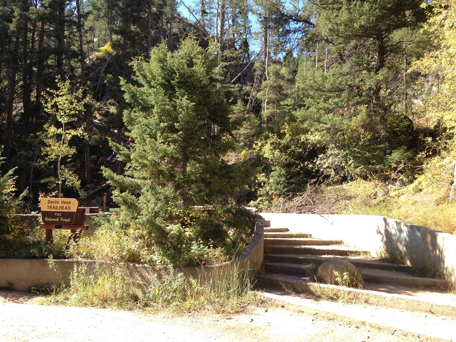
Pike National Forest. Turning left onto gravel Rampart Range Road was nice too as the road passes campsites and motorized vehicle trails, small 4 wheelers and off-road motorcycles. It is an 8-mile drive over the washboards at 20 MPH to the Devils Head Trailhead.
Camping and a picnic area are available there also.
 |
| Trailhead |
 |
| Trail Damage by an EF1 Tornado |
The hike starts in a blow down of trees that happened this July 21st, caused by an EF1 Tornado. Trees are scattered in every direction, many blown down or snapped off. A once-beautiful Aspen grove laid toppled, the large trees mostly blown over. Cut logs laid stacked everywhere where they had to cut most everything to clear the trail.
Years ago I had backpacked through such a tornado tangle in eastern Kentucky. Crawling over and under still loose and sliding trees, it was one of the hardest things I had ever done. I ended up removing and pushing my backpack ahead of me or pulling it behind me through the snarl. Smaller than this area, it still took me 2 hours to cross about one hundred fifty yards and made me late to reach camp that night.
 |
| Remaining Aspen Grove |
 |
| More Aspen |
 |
| Marsh-mellow Rocks |
Past the damage, the trail once again is filled with trees and the Pikes National Forest area 'marsh-mellow-shaped granite rocks'. The trail climbs about 15 switchbacks and is sandy and gravelly underfoot. A sign at the halfway point lets you know how much farther you have to go. Picnic tables and benches are spaced along the way, and views in all directions are really cool.
 |
| Halfway Point |
 |
| View West to one of the Devils 'horns' |
 |
| View East |
I finally reach the top area which holds the Ranger's cabin with its new roof and the fire tower lookout. Like a mountain cove, this area is surrounded by great rocks. This is the last "manned" fire tower in all of America. The ranger gives out cards to those who climb the 143 steps to the top. I climbed up to 9478 feet and enjoyed the wide open views, snapping some photos before heading back. I turned down another completion card from the fire tower Ranger, telling him I still had the card he gave me 2 decades ago.
 |
| Ranger's Cabin |
 |
| Stairs up to the tower |
 |
| View Southeast |
 |
| View Northeast |
 |
| View North |
 |
| View South to Pikes Peak |
 |
| View West across Pike National Forest |
The trail back down went by much faster than the one coming up, even though it was the same trail. The over-full parking lot still had cars coming in, with more coming in along the return drive on Rampart Range Road. I enjoyed my hike to Devils Head and the Fire Tower, the fall color and the cool temperatures.
 |
| Steel strips cemented to prevent sliding |
 |
| Enjoying one last trip through the aspens |
To get to Devils Head go south from Denver on I-25 to exit 184 at Castle Rock, Founders Parkway. Go right (west) to Highway 85, then right at the second light to go north on 85. Follow about 8 miles to Sedalia, turn left at the light onto CO 67. Follow the winding road to Rampart Range Road, turn right (south). Follow Rampart Range Road south 8 miles to the Devils Head entrance and park. The gravel road has a 20 MPH speed limit. Bring plenty of water. The trail is about 1.4 miles long and gains 940 feet in elevation.


No comments:
Post a Comment